

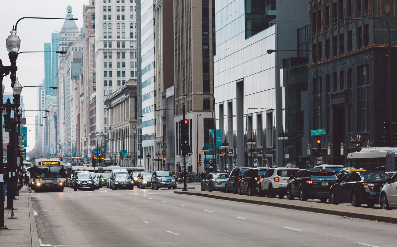
The modern urban mobility landscape is changing faster than ever, and traffic performance significantly affects our daily quality of life. Last year alone, drivers in North America lost an average of 38 hours to rush hour delays1, and global traffic delays have increased by 15% since 20232. This worsening congestion is costing cities billions of dollars annually.
To complicate matters, transportation professionals are navigating highly unpredictable traffic patterns. The shift toward remote and hybrid work environments has fundamentally disrupted historically typical rush hour trends. Simultaneously, cities are seeing a massive shift in how people move; in 2024, micromobility trips in North America hit an all-time high, jumping 31% over the previous year, with roughly a third of those trips replacing passenger car travel3.
To prioritize and improve this dynamic landscape, transportation professionals need accurate, reliable traffic data to justify infrastructure investments and reduce congestion. However, many cities are still relying on outdated collection methods.
Traditional data collection tools—like pneumatic road tubes, manual counts, and radar—struggle to keep up with the demands of modern urban environments.
At its core, the advantage of video-based traffic data is about establishing trust and clarity. Video doesn't just collect data; it tells the holistic story behind the data.
Video-based solutions empower cities to capture verifiable, multimodal data that tracks pedestrians, bikes, micromobility, and vehicles with up to 95% accuracy*. Deployments are incredibly straightforward, non-intrusive, and much safer, as technicians do not need to stand in the roadway. Most importantly, if a data point looks unusual, engineers can easily pull up the video to ground-truth the results.
The operational difference is stark. In a recent New York City study* across seven high-volume roadway segments, researchers compared video-based counts with pneumatic tubes. The pneumatic tubes overcounted vehicles by 13% due to equipment failures, parked vehicles, and queuing congestion. Furthermore, installing the tubes required two technicians and 30 minutes per site, whereas the video collection system was safely installed by a single technician in just 10 minutes.
By leveraging accurate video data—captured through high-resolution, high-capacity hardware—cities can optimize operations to deliver measurable economic and environmental benefits.
In Burlington County, New Jersey, planners utilized video turning movement and travel time studies to retime signals along a 5.5-mile corridor.* This targeted signal optimization resulted in a 14% reduction in travel time, saving 154,000 gallons of fuel, reducing CO2 emissions by 3,000 tons, and delivering nearly $400,000 in annual user savings.
Video also unlocks entirely new paradigms for complex urban challenges, such as curbside management. Instead of relying on manual "boots on the ground" observations that only capture snapshots in time, continuous video monitoring reveals holistic patterns. Cities can analyze peak delivery stacking, rideshare clustering, and illegal parking on a granular per-vehicle or per-space basis, enabling them to design smarter infrastructure for the future.
Better planning requires better data. By transitioning to verifiable video analytics, decision-makers are equipped with the compelling visual evidence and accurate multimodal numbers required to confidently design the cities of tomorrow.
1TomTom, Traffic Index, 2024
2INRIX, Global Traffic Scorecard, 2024
3NABSA, Shared Micromobility State of the Industry Report, 2024
*Data on File
